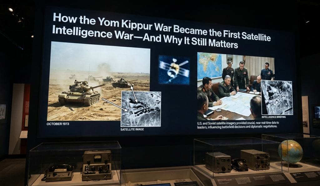
In October 1973, the Yom Kippur War erupted with shocking violence. On the ground, it was a brutal, intimate conflict of tanks burning in the Sinai, infantry clawing up the basalt slopes of the Golan Heights, and aircrews flying into dense curtains of surface to air missiles. Soldiers fought at close quarters, often blind, guided by fragmentary radio reports and instinct.
Yet above this chaos, entirely unseen by those fighting below, a second and far more consequential war was being waged; a silent struggle conducted hundreds of miles above Earth, by machines moving at orbital velocity. This was a war of light and shadow, of silvered film canisters tumbling back through the atmosphere, and of analysts racing against time to interpret images that could decide not merely battles, but the fate of states.
The central question of the Yom Kippur War is not simply how Israel survived strategic surprise, or how Arab forces achieved early battlefield success. It is this: how did photographs taken from space become the most valuable currency of war and diplomacy in October 1973? The answer marks the moment when space ceased to be a strategic abstraction and became a decisive combat domain.
The Technology Surprise
By 1973, the United States possessed a space-based reconnaissance capability unparalleled in history. The KH-9 HEXAGON, known as “Big Bird,” and its higher-resolution cousin KH-8 GAMBIT, formed the backbone of U.S. strategic imagery intelligence. These were not digital systems. They used massive film reels, exposed through long-focal-length cameras capable of resolving objects measured in feet rather than meters.
Once exposed, the film was physically ejected from orbit in reentry capsules; “bucket drops” which plunged back through the atmosphere and were snatched mid-air by aircraft. This was intelligence on a clock. If the capsule was lost, destroyed, or delayed, the insight vanished with it. Despite these limitations, the coverage was extraordinary. Satellites could image entire theaters of war, repeatedly with consistency no aircraft could match. They were immune to air defenses and diplomatic protest alike.
The Intelligence Picture
In the weeks leading up to October 6, U.S. satellites photographed unmistakable signs of preparation for war. Egyptian forces moved bridging equipment toward the Suez Canal. SAM belts: SA-2, SA-3, and the newly deployed SA-6 were advanced forward in layered formations. Syrian armored and artillery units massed opposite the Golan Heights. This was not camouflage or deception; it was the physical choreography of an impending offensive.
Despite the massive military preparations undertaken by Egypt and Syria in the months before October 1973, Israel was strategically caught off guard. Long before the war began, multiple indicators including troop movements, bridge building equipment deployed near the Suez Canal, and air defense systems staged forward pointed toward a possible offensive. U.S. reconnaissance, including satellite overhead imagery, had seen evidence of Arab military build-ups, even if the United States itself failed to fully anticipate the timing of the attack.
By contrast, Israeli military intelligence; AMAN operated under a deeply entrenched analytical framework known in Hebrew as Ha-Konseptzia (“The Concept”). This was not a formal policy paper but a collective strategic assumption shared by senior intelligence analysts and political leaders. It held that Egypt would never initiate hostilities until it had first neutralized Israeli air superiority, and that Syria would not attack without Egypt beginning the war. Israel’s doctrinal view was rooted in the stunning success of the 1967 Six-Day War and a long-standing belief that the Arab states lacked both the capability and the strategic will to challenge Israeli military dominance.
This conceptual framework had deep psychological and institutional roots. Although Israel had excellent human, signals, and aerial collection capabilities, intelligence interpretation became anchored to assumptions rather than adapting to what the data indicated. The Israeli political and military leadership, including AMAN Director Major-General Eli Zeira, remained convinced that Egypt would not risk offensive war without first eliminating Israeli air superiority; a condition that, according to the intelligence estimation, Egypt had not yet achieved. Subsequent warnings from Mossad about Arab intentions, as well as political intelligence from sources like Ashraf Marwan within Egypt’s leadership, were dismissed or downplayed because they did not fit the prevailing strategic narrative.
The Agranat Commission Israel’s postwar inquiry into the calamity later identified this conceptual bias as a central reason for the failure to anticipate the attack. The Commission found that Israeli intelligence had ample raw information indicating mobilization and preparation, but analysts systematically filtered these signals through an overconfident lens that assumed Arab war plans were unlikely. In effect, a powerful belief system shaped analysis more than the observable evidence itself, highlighting a core human and organizational limitation in intelligence work. This error was not merely academic. On the eve of the war, commanders saw massed forces and crossing gear but interpreted them as defensive exercises or extended training rather than preparations for invasion. Thus, when Egypt’s and Syria’s armies attacked on October 6 on the Jewish holy day of Yom Kippur; the Israeli Defense Forces were only partially mobilized and understrength on both the Sinai and Golan fronts.
The Boukburg Gap: A Photograph That Changed the War
While satellites did not prevent the strategic surprise, they reshaped the conflict once the war was under way arguably altering its trajectory in real time. Before 1973, overhead reconnaissance systems such as the U.S. KH-9 Hexagon and the GAMBIT series were oriented more toward long-term strategic assessment than fast-moving tactical support. These satellites used film that had to be returned to Earth in canisters for processing, which limited how promptly imagery could be used.
Still, even with those limitations, imagery became vital once hostilities commenced. The constraint was not the absence of data but turning that data into actionable, time-sensitive intelligence an enormous challenge in an era before digital downlinking and near-instant transmission. Piecing together satellite passes, aerial reconnaissance, and ground reports, analysts raced to update battle maps and inform commanders and policymakers at the highest level. One of the most consequential insights came from overhead imagery showing a clear gap between the Egyptian Second and Third Armies on the east bank of the Suez Canal a structural weakness invisible to front-line reconnaissance but evident from space. This gap, located near Deversoir (often discussed in intelligence circles as a targetable seam), offered Israel a rare opportunity to strike deep into the Egyptian rear and sever the cohesion of their formations.
Operation Gazelle
Armed with this knowledge, Israel launched Operation Gazelle. Ariel Sharon’s forces crossed the canal at the identified gap, punched through Egyptian rear areas, destroyed SAM sites, and encircled the Egyptian 3rd Army. The balance of the war shifted decisively. This was the moment when the age of satellite enabled warfare arrived in full clarity. A photograph taken from orbit plotted the route for tanks on the ground. Strategy collapsed into pixels; pixels reshaped history.
Although modern narratives sometimes blur tactical and strategic intelligence sources, there is broad recognition in declassified accounts and analyst histories that this understanding of operational depths informed the planning of Operation Gazelle, the bold counterattack led by Ariel Sharon. Israeli forces exploited the gap identified through reconnaissance to cross the canal and drive into Egyptian rear echelons, disrupting supply lines and isolating the Third Army, ultimately encircling it. While operational execution depended on ground maneuver and air support, the decision to exploit that seam was informed by overhead reconnaissance processing and interpretation. This was one of the earliest instances in which space-sourced imagery worked in concert with airborne and terrestrial reconnaissance to shape battlefield decision-making. The significance of this cannot be overstated: in a conflict predating digital satellite imagery, a geometric understanding of battlefield spaces and formations derived from overhead observation guided force movement and campaign planning in a manner previously reserved for post-facto assessment or high-level strategic appraisal.
Diplomacy and Deception
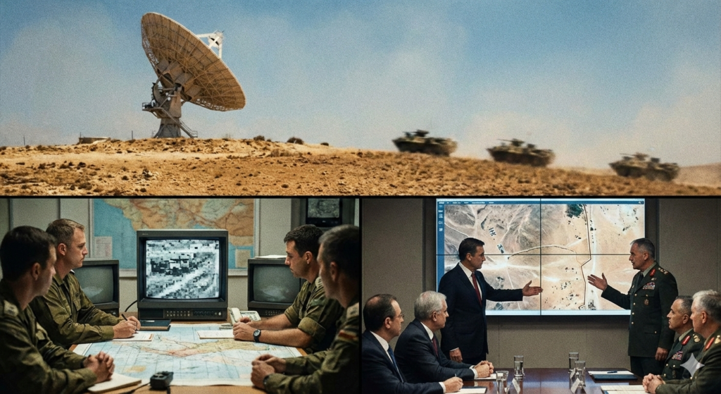
Beyond battlefield effects, satellite intelligence became a trusted arbitrator of reality for U.S. leaders during the war. Secretary of State Henry Kissinger and other senior officials relied on overhead imagery to validate troop dispositions, monitor ceasefire compliance, and weigh the accuracy of competing narratives from allies and adversaries alike. In the fog of propaganda with each side offering exaggerated or contradictory battlefield claims satellite imagery was perceived as the closest available source of objective truth.
This had immediate diplomatic value. When ceasefires were established and then allegedly violated, imagery provided evidence that could confirm or contradict those claims. In the absence of on-the-ground verification, photo intelligence became a form of leverage in diplomatic negotiation. Satellite evidence of battle damage and force posture also informed Washington’s decisions regarding resupply and pressure on Israel and Arab states alike.
Most dramatically, in the broader Cold War context, overhead intelligence helped monitor Soviet naval movements and force deployments. As pressures mounted, and fears of a wider superpower confrontation grew, the U.S. raised its global defense alert to DEFCON 3, largely informed by its assessment of Soviet readiness and activity a decision that brought the world to its most serious nuclear posture since the Cuban Missile Crisis.
From State Secret to Commodity: The Ukraine Parallel
In 1973, access to satellite intelligence was an extremely limited and highly classified capability, reserved for superpower intelligence communities. The U.S. and Soviet Union guarded these capabilities as strategic assets that could decisively inform foreign policy, military planning, and crisis management. Satellite images were shared only with trusted allies and even then sparingly.
Today, that paradigm has fundamentally shifted. Commercial satellite constellations operated by companies like Maxar, Planet Labs, and BlackSky now offer near-persistent, high-resolution imagery accessible to analysis teams around the world. This democratization of space intelligence part of the OSINT revolution has transformed modern conflict reporting and military operations alike. Analysts and journalists can now document troop movements, track logistics hubs, and expose battlefield events in near real time, narrowing the informational advantage once held exclusively by state actors.
The scale and speed of imagery acquisition and distribution create a new strategic reality: no force can maneuver without generating a traceable pattern in space and time. While film return limited the usefulness of satellites in 1973, digital downlinks and frequent revisit rates mean that the world now watches conflict unfold from above continuously fundamentally altering the transparency of warfare. Yet even with vastly more data, the basic truth identified in 1973 persists: seeing comes before knowing, and knowing precedes action. Whether in the deserts of Sinai or the plains of Ukraine, the overhead eye remains a decisive node in the chain from perception to policy. Yet the fundamental logic remains unchanged:
Seeing is the first step to knowing. Knowing is the first step to acting.
Conclusion
The Yom Kippur War was the proof of concept for space as a decisive warfighting domain. It transformed intelligence from distant strategic prediction into an operational and tactical instrument. It permanently linked space superiority to battlefield success and diplomatic leverage. Every modern conflict from Ukraine to the Indo-Pacific operates in the shadow of that revelation. The satellites that silently witnessed the Sinai and the Golan in 1973 are now joined by thousands more crowded, watchful sentinels over every battlefield. What began as a secret advantage has become a permanent condition of war. Modern warfare is no longer fought only on land, sea, and air. It is decided first, and often finally, from above.